Fort Carson Directorate of Public Works CADD/GIS Program
Division
Professional Services
Location
Colorado Springs, Colorado
Tepa Company
Tukuh Technologies, LLC
Cost
$2.9M
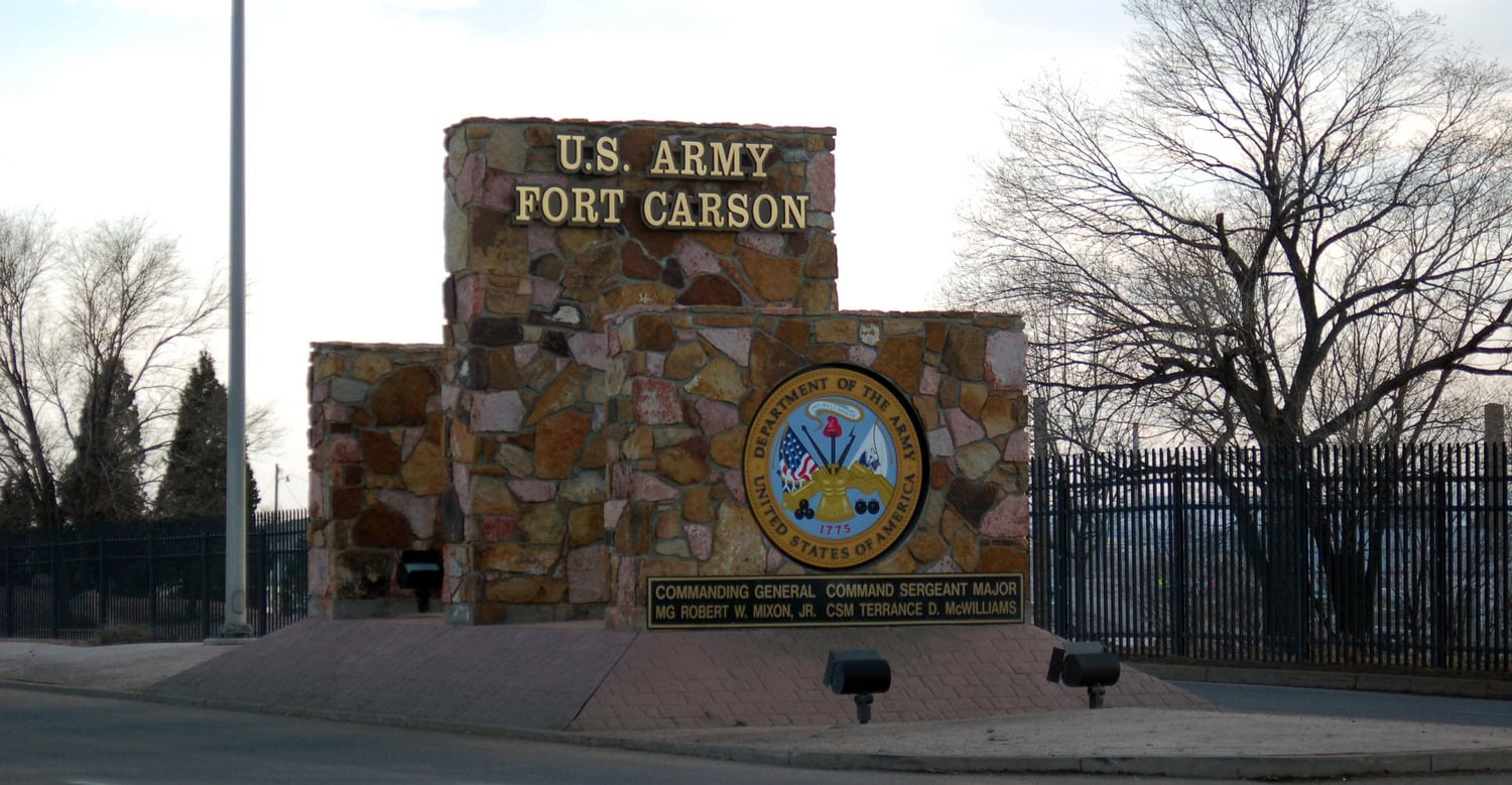
Tepa operated and maintained the Esri Geographic Information System (GIS) enterprise for the U.S. Army's Fort Carson Department of Public Works. The installation encompasses approximately 137,000 acres at Fort Carson, plus an additional 235,000 acres at the Piñon Canyon Maneuver Site. Project activities included GIS data development and validation, Global Positioning System (GPS) survey data collection, computer-aided design (CAD) drafting services, and Emergency Operations Center (EOC) support involving these areas. The scope also consisted of database creation, implementation, and management, Real Property Planning and Analysis System (RPLANS) data management, custom map production, and customer support and training.